
Fleet, field work and road intelligence that keep running offline.
Lynxfield helps municipalities, counties, DOTs, towns and contractors modernize fleet tracking, road patrol, infrastructure asset management, winter operations, mobile work management, Vision capture and bulk material measurement — with hardware and software built for real field conditions.
Purpose-built modules that share maps, assets and offline capability.
From patrol capture and infrastructure inspections to winter reporting and field work closeout — each solution strengthens the others instead of living in a separate system.
Fleet tracking
Live and historical visibility for plows, patrols and work trucks — including beyond cell coverage.
View fleet →Road patrol
Digitize patrol routes, prove compliance by road class, and keep management in the decision loop.
View patrol →Work management
Capture deficiencies, photos and work packages in the field — on or offline — then close the loop.
View work →Winter operations
Monitor plowing, sanding, salting and liquid use with live views and records you can defend.
View winter →Vision
AI-assisted capture of potholes, cracking, markings, signs and custom asset classes from the road.
View Vision →Lynx LiDAR
Measure bulk material inventory in salt domes efficiently — replace slow, unreliable weight systems.
View LiDAR →IAM • Infrastructure Asset Management
Build a location-aware infrastructure inventory, inspect assets in the field and connect deficiencies to maintenance work and retained history.
View IAM →Track fleets on and offline.
Live and historical visibility for plows, patrol vehicles and work trucks — even when coverage drops. Put vehicles next to work, service areas and winter activity on one map.
- Live visibility for mixed fleets and active shifts
- Historical playback for audits and briefings
- Offline collection with automatic synchronization
- Work orders and service areas in the same GIS view
Automated road patrol that proves the route was done.
Digitize patrol routes, schedule compliance by road classification, and give management real-time decision support with photos, locations and deficiency capture built in.
- Route plans aligned to road class and service standards
- In-cab capture of conditions, assets and deficiencies
- Management visibility without waiting on paper sheets
- A clean handoff into work packages and follow-up
Field work that stays organized from capture to closeout.
Capture deficiencies, media and work requirements in the field. Prioritize, assign and complete work packages without rebuilding the story across paper, texts and separate apps.
- Work packages with location, media and instructions
- Assignment by crew, area, priority or asset class
- Offline field use with synchronization later
- Completion notes, labour, material and evidence
Live and historical winter maintenance you can defend.
Visually monitor plowing, sanding, salting and liquid material use. Give supervisors storm-tempo visibility and keep records that support after-action review.
- Designed for winter storm tempo and mixed fleets
- Live operational picture plus historical playback
- Material and route activity tied to service areas
- Defensible documentation for after-action review
AI-assisted deficiency and asset capture from the road.
Computer vision analysis of road data — potholes, cracking, markings, signage and custom classes — so patrol and inspection programs scale beyond pure manual observation.
- AI-assisted detection of common road deficiencies
- Support for markings, signs and custom asset classes
- Evidence tied to location for follow-up work
- Complements human patrol judgment, not a black-box replacement
Efficient bulk material measurement for salt inventory.
Measure inventory in salt domes with LiDAR so operations teams replace slow, unreliable weight systems with faster, repeatable volume measurement.
- Purpose-built for bulk material inventory checks
- Faster than manual or scale-dependent methods
- Supports winter material planning and replenishment
- Fits the same public-works operational stack
Built for the edge of the network.
Hardware and software that keep working when coverage drops — a reality for rural corridors, storm response and large service areas across the U.S. and Canada.
Crews keep capturing routes, work and evidence, then synchronize when connectivity returns.
Fleet, patrol, winter activity, assets and work packages can live on one operational map.
Custom mobile computers and cameras designed for data capture beyond the network edge.
Road class, winter tempo, inspections and crew handoffs — not generic office task software.
Built for public works. Ready for contractors and mobile fleets.
Lynxfield starts with field reality: distributed assets, seasonal peaks, weak coverage and a need for records that hold up under scrutiny — in the United States, Canada and similar operating environments.
Practical guidance from the field.
Articles on fleet connectivity, mobile capture, winter readiness and public-works operations.
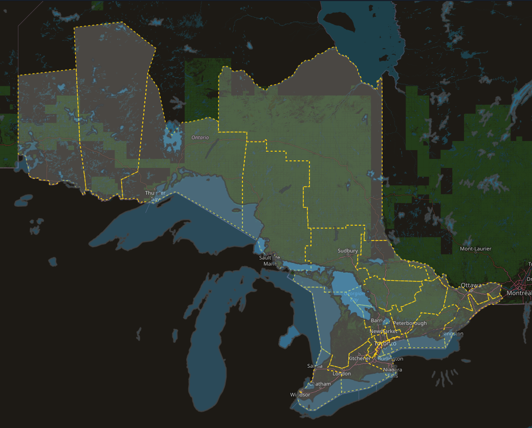
How Lynxfield RMS Supports Provincial Highway Maintenance Across Ontario
Fleet, patrol, materials, inspections, historical evidence and 511 support across more than 10 Ontario maintenance regions.
Read article →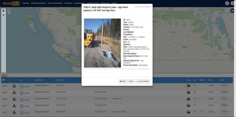
Why Lynxfield Mobile Improves Asset Management Data Capture and Field Inspections
Keeping condition, photos and location attached where crews actually work.
Read article →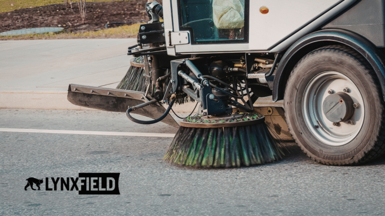
Why Summer Is the Best Time to Prepare for Winter Operations
Use the off-season to tighten routes, reporting and material readiness before storm tempo hits.
Read article →Show us how work moves today. We’ll show where fleet, patrol, winter and field work fit together.
Demos, pilots and public-works projects across the United States and Canada.