
For many maintenance fleets, the work doesn’t happen where the signal bars are strongest.
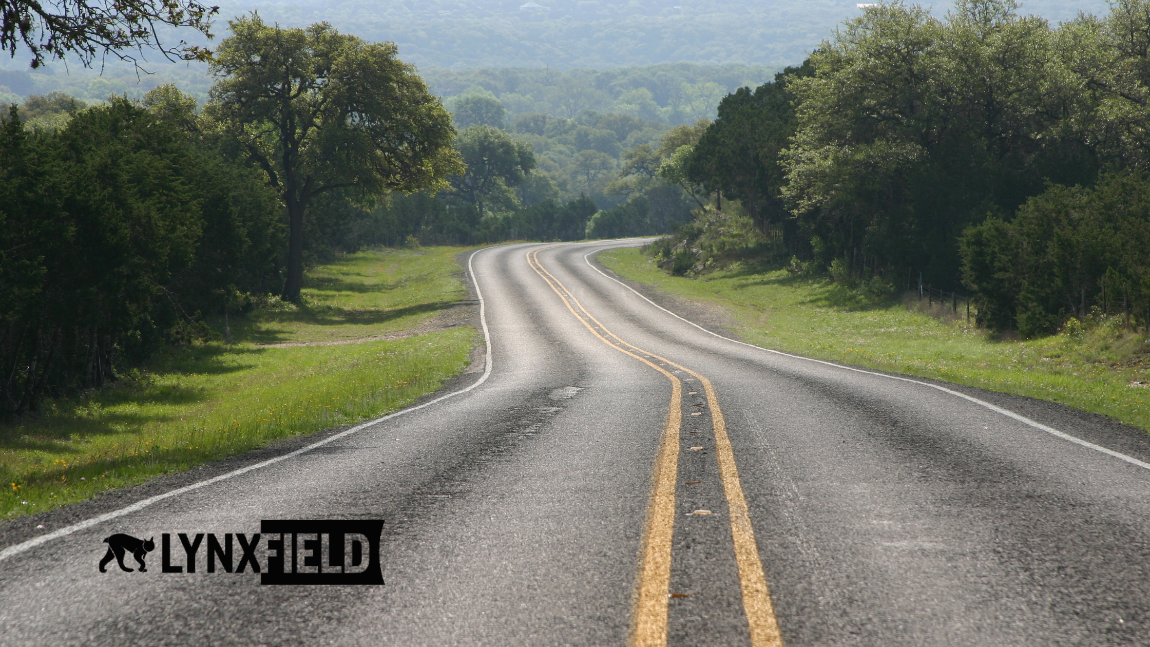
Road crews operate on rural highways, forestry roads, isolated maintenance routes, and storm-affected areas where cellular coverage can disappear without warning.
Yet expectations around accountability, safety, and operational visibility haven’t changed. Supervisors still need to know where crews are, what the conditions are, and whether critical work has been completed.
The challenge is simple: operations don’t stop when coverage does.
For years, many fleets have relied on systems that continue to collect data offline, syncing information only when a vehicle returns to cellular range. That approach solved part of the problem. GPS history, completed routes, and maintenance records were preserved, even in dead zones.
But there was still a delay.
Management teams often had to wait until trucks returned to coverage before they could see what happened in the field.
Today, that’s changing.
Bringing Live Visibility to Remote Operations
With modern satellite Wi-Fi solutions like roof-mounted Starlink systems and similar technologies, maintenance fleets can now maintain a constant live connection almost anywhere they operate.
That means fleet supervisors can see:
- Live vehicle locations in real time
- Current road and weather conditions
- Live images and video from remote routes
- Patrol activity as it happens
- Operational updates without delay
Instead of waiting for trucks to reconnect hours later, operations teams can make decisions based on what’s happening right now.
For organizations responsible for road maintenance, winter operations, inspections, or remote infrastructure work, that shift is significant.
It turns remote operations from delayed reporting into live operational awareness.
Why Real-Time Visibility Matters
Remote work introduces uncertainty.
A crew member is working alone on an isolated road. A snow event is moving faster than expected. A washout was reported in an area with no cellular service. In situations like these, delayed information can slow response times and create unnecessary risk.
Live satellite connectivity helps eliminate those blind spots.
Supervisors can immediately verify:
- Where vehicles are located
- Whether routes are being completed safely
- What road conditions actually look like
- If additional support is needed
It also creates stronger operational transparency. Instead of relying solely on radio updates or manual reporting, teams have live visual context from the field.
That’s especially valuable during severe weather events, emergency response situations, or after-hours maintenance operations where conditions can change quickly.
A Better Layer of Safety for Lone Workers
For many road crews, working alone in remote locations is simply part of the job.
Whether inspecting roads after a storm, responding to overnight winter conditions, or servicing isolated infrastructure, lone workers face unique safety challenges, especially in areas without reliable cellular coverage.
With live satellite-connected fleet systems, operations centers can maintain continuous awareness of both the vehicle and surrounding conditions.
If a crew member encounters trouble, supervisors can:
- See the vehicle’s exact location immediately
- Access live imagery from the area
- Respond faster with support or emergency services
- Maintain communication awareness even outside traditional coverage zones
That level of visibility creates peace of mind not just for managers but also for crews in the field.
From Offline Records to Live Operations
Offline tracking remains an important capability. Maintenance fleets still need systems that reliably store and synchronize data regardless of connectivity.
But combining offline resiliency with live satellite communication changes what’s possible.
Now, fleets can have both:
- Reliable historical operational records
- Real-time visibility from virtually anywhere
And because modern satellite systems offer significantly improved speeds, transmitting images and video from remote locations is no longer impractical or delayed.
For maintenance organizations managing large geographic areas, that means faster decisions, stronger accountability, improved safety, and better operational coordination, without waiting for vehicles to return to coverage.
The Future of Remote Fleet Visibility
As maintenance operations continue to modernize, connectivity is becoming just as important as tracking itself.
The question is no longer whether fleets can collect data in remote areas.
The question is whether operations teams can see and respond to that information in real time.
With satellite-connected fleet technology and integrated operational platforms, maintenance fleets are gaining a clearer, faster, and safer view of the work happening across every route — regardless of location.
Because roads don’t end where cell coverage disappears. And operational visibility shouldn’t either.
Learn More About Connected Fleet Operations
Lynxfield helps maintenance organizations improve real-time visibility, operational awareness, and field communication through integrated fleet tracking, mobile operations software, AI-assisted patrol systems, and remote connectivity solutions.
Whether your teams operate on rural highways, forestry routes, winter maintenance networks, or isolated infrastructure corridors, we can help you stay connected and informed — even outside traditional cellular coverage areas.
To learn more about Lynxfield’s remote fleet visibility solutions or to book a free demo, contact our team today.