Lynx Tracker
Lynxfield Fleet Tracking
Monitor dash camera views online/offline, live, or stored. Ensure compliance.
Our integrated software and hardware solution empowers companies, work departments, and patrol divisions to optimize fleet operations. With real-time insights into vehicle location, status, and performance, Lynxfield Fleet Tracking supports informed decision-making, enhances driver communication, and reduces operational costs.
Lynxfield’s LynxTracker technology tracks fleets on and offline with automatic upload.
Lynxfield is a leader in public works road maintenance technology. Rugged, versatile and customization for all your construction and works vehicles from graders to garbage trucks.
Very easy to migrate to the Lynxfield fleet system and quick setup. Our teams can help import existing data and integrate to operational systems seamlessly. Optimised for each organisations priority to improve efficiency of implementation with greater levels of accuracy and reliability of important data.
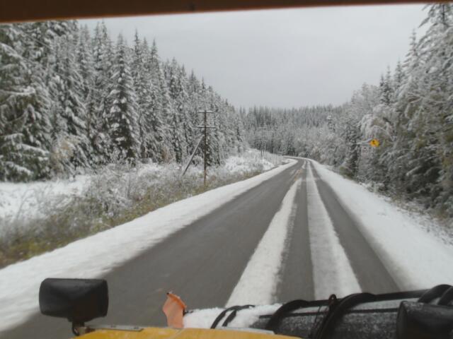
Lynxfield GIS mapping module is a leading public works road maintenance solution, integrating live and historical fleet data, weather, and municipal datasets for optimized operations. Track vehicle status (plow, spreader, road temperature), log work IDs, and use dash cameras for live/historical images with low data costs. The Lynxfield LX4 AI camera detects road deficiencies like potholes, integrating with GIS data (water, sewer, building parcels, road centerlines) for automated work orders. Live weather, highway camera feeds, and forecasts enable proactive planning, while the Road Maintenance Schedule Map (RMSM) visualizes conditions for compliance and efficiency. Rugged, customizable for graders to garbage trucks, Lynxfield GIS offers easy migration, seamless data import, and API integration. Boost efficiency, safety, and cost savings with reliable, accurate insights. Learn more contact us.


